 Image credit: Unsplash
Abstract
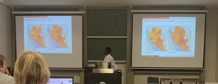
In this talk, I will discuss statistical models used in disease mapping. Spatial statistics is classified into three categories according to Cressie’s (1991) book, namely geostatistics, lattice data, point patterns. I will discuss the distinction between the three classes and show that in many public health applications the main distinction is according to the underlying process. I will give three different applications. The first is on geostatistical analysis of River blindness in Cameroon. This study was used to help national control pro- gram to define hotspot areas, adjust treatment boundaries, prioritize areas with urgent Community-directed Treatments with Ivermectin (CDTI) and evaluate the progress towards elimination. The second is on disease risk mapping of chronic obstructive pulmonary disease (COPD) emergency admission. I will introduce a new methodology we developed to carry our spatially continuous prediction of COPD emergency admission risk when the data is available on an area level. The third application is on modelling the relationship between life expectancy at birth (LEB) and index of multiple deprivation (IMD) when they are spatially misaligned. I will give an overview of our proposed model-based geostatistical approach to solving spatial misalignment problem.